
How to organise a mountain adventure: the best equipment, route planning, nutrition.
The concept behind speed hiking, aka fastpacking is to move quickly: in a nutshell, to cover greater distances in less time. To do this you need a lightweight rucksack: it all sounds simple but it is not.
In August 2021, taking advantage of a few days without my family, I decided to pack my rucksack and visit friends on the other side of the Alps without using a car, on my own.
After 15 years of ultratrail races, I felt a need to go slow, to cover ground without hurrying, taking the time to look around and savour every moment of the experience.
Six days is not a lot for a holiday, but it is enough for a mountain adventure on one's own legs.
This is what I learnt, especially from my mistakes, in those 250 kilometres and 10,000 metres of altitude difference.
I left Engadin, reached the Brunone hut in the Orobie range and returned to Engadin. As I wasn't sure I’d find room in the huts, due to the restrictions due to the pandemic, I brought along a mini-tent and a light sleeping bag.
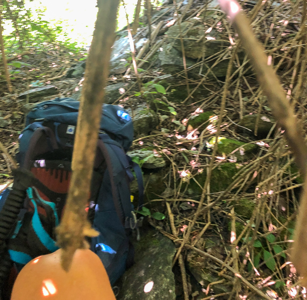
I only had a 55-litre backpack available; this was quite large and bulky, comfortable for the heavy load, but not extremely practical for running the flat sections and the descents. I should have opted for a lighter backpack which would sit higher on my back, but I didn't have it with me. As has been the case for a few years now, the temperature is generally warm, and carrying a good amount of water has become more important than equipment. In the mountains water is almost never a problem, but not knowing the location of the various water points, I constantly travelled carrying one litre of water, enough for at least three hours of walking. I also had a good supply of food, which I supplemented by stopping to eat, or purchasing supplies along the way.
Travelling at a slow pace, calorie consumption was mainly from lipids rather than from carbohydrates, as is the case when running. My food reserve, as I’d learnt at the Marathon des Sables, consisted mainly of high calorie/weight ratio products based on fat and protein: dried fruit, dehydrated fruit, dried meat, parmesan cheese and a few bars. Foods rich in salts to compensate for the lack of them in mountain water. After a few experiments, my favourite mix was without doubt a combination of Beef Jerky, dehydrated papaya and cashew nuts.
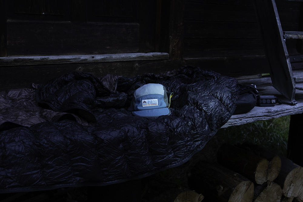
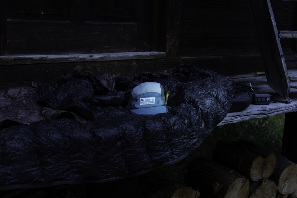
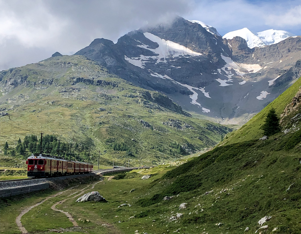
The first night I slept outside without pitching a tent: the mild climate, the clothing I had with me and the sleeping bag were enough to sleep under a bed of stars, lying on a bench near an uninhabited hut. On the second day, after reaching the Bernina Pass (2235 m) and eating two slices of cake in Cavaglia along the Via Valtellina, I tried not to descend too far towards Poschiavo, crossing the Swiss-Italian border at the Passo d'Ur (2495 m) and continuing on to the Camagneda Pass (2628 m).
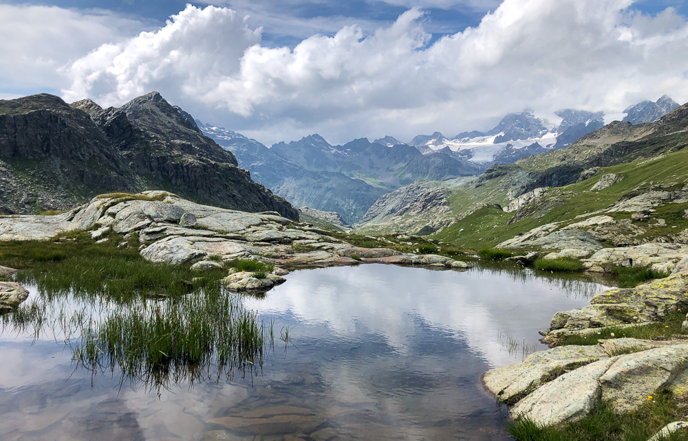
The border area turned out to be wonderfully wild, with high mountain landscapes where I met no other living soul all afternoon.
On the ascent, with the load on my shoulders, I moved very slowly. The descent, at sunset, running towards Valmalenco was a welcome respite and I managed to arrive in time for dinner at the Rifugio Cristina in Pratobello, Valmalenco, where I was able to shower and dine comfortably.
The next morning, after climbing to Passo degli Ometti (2767 m), I couldn't resist. I left my rucksack behind a rock and climbed to Pizzo Scalino (3323 m). I quickly realised that to make up for this unscheduled digression I would have to run all the way down to Sondrio, but the opportunity was too tempting and the idea of climbing lightly without the rucksack too enticing.
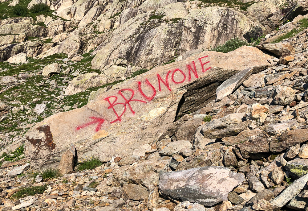
I walked the entire length of the Val di Togno, along paths that were now abandoned, in search of a refuge or shelter for my return journey, in a few days. Unfortunately, the Rifugio Bruno De Dosso was closed and the Rifugio Val di Togno was bought by a Belgian family that is doing renovation work on it. The pasture huts I encountered were very dirty and in poor hygienic condition. Worried that I would not find sleeping accommodation on the return leg, I feared I would have to change my plans. With perfect timing, I arrived in Sondrio at 1:30pm: the temperature was 35C and I was at least an hour late. I made a quick stop at a bar (with air conditioning) to eat a sandwich and stock up on liquids. More than 20 km and 2500 m of positive altitude difference separated me from the Passo della Scaletta above the Rifugio Brunone.
The ascent from the opposite side of the valley was exhausting, the day was scorching and the slopes did not allow me to run, I could only limit my stops so as not to fall further behind schedule and walk as fast as possible.
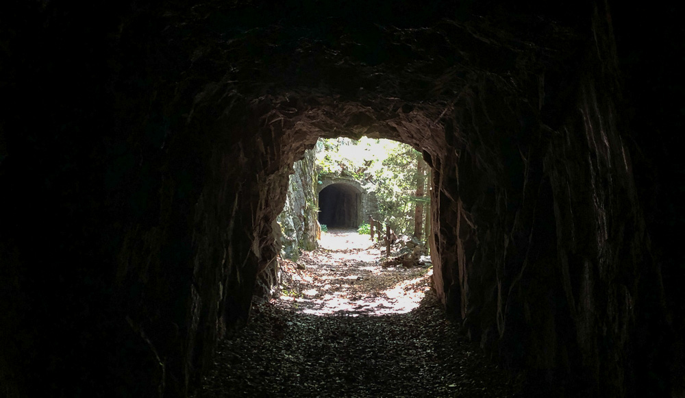
The route I had mapped out followed the Val Caronno and passed Lake Scais along the route used to build the power station powered by the lake waters. Finally, thanks to higher altitude and some tunnels, the temperature became more acceptable and I started running again.
I realised that I was slower than expected and that if I continued like this I would have to opt for plan B, which meant staying only one night at Rifugio Brunone and looking for an extra place to sleep the next day. In the meantime, to try to break up the long leg on the way back, I called a couple of B&Bs to see if they had room in two days' time but they were all full during the Assumption week holiday, so, out of desperation, I called the Rifugio Mambretti number. I was answered by the manager of the CAI refuges in Valtellina who, sounding very apologetic, explained that all the refuges were clean and ready, but an ordinance forbade them to open.
When I’m out running and I see the time indications on the CAI trail signage, I usually know that it will take me half the time indicated when going uphill, and a third of the indicated time while going downhill. Instead, it was taking me nearly the same amount of time and when, at around 4pm, I saw the sign indicating that 4.30 hours were needed to get to Passo della Scaletta I realised I was very late. After a short stop to take my rucksack off my shoulders and have something to eat, I tackled the most difficult part of the climb. I would definitely arrive after 8pm, maybe 9pm. I had almost run out of water and the heat had exhausted me. I was no longer sure of my calculations and I was anxious to warn my friends at the Refuge but there was no reply on their phone. I climbed with my head down, concentrating on my pace rather than on the route to follow, I told myself I knew the way, since we often come to the Baita di Caronno to get cheese for the Rifugio. In fact, due to fatigue and haste, I took a wrong turn.
The Scaletta pass (2530 m) is reached via a scree slope that then leads into a narrow gully from where the via ferrata starts. Every winter, the melting snow inevitably shifts the stones painted with the few trail markers present; moreover, not many hikers walk this route, so there are no obvious signs of passage. When I was forced to throw my rucksack over a rock in order to climb it, I came back to my senses and realised that the second route I had got myself into was also not the right one. Knackered as I was, I headed for the third and final gully further to the right, where I finally found the via ferrata. I didn't remember it being particularly challenging even with 20 kg of cheese on my back, but this time it seemed extremely difficult. In some passages on the iron rungs my legs began to shake and I had to hoist myself up with my arms.
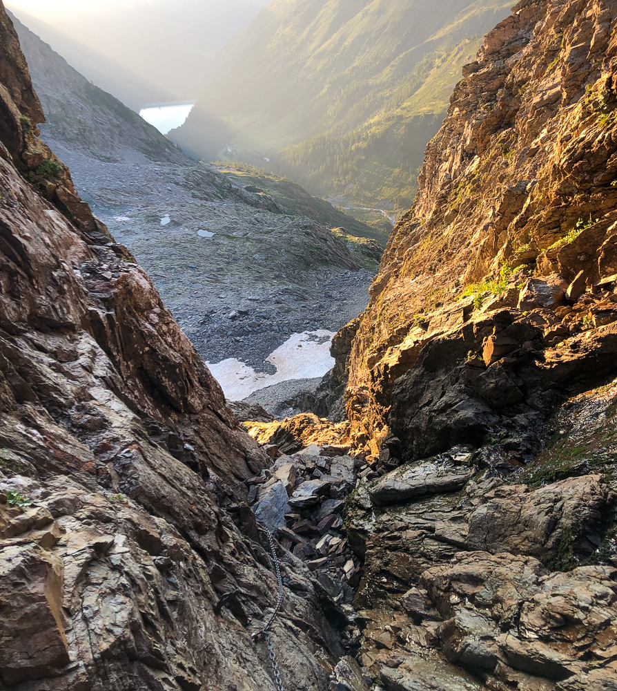
When I saw the clearer sky above my head, I knew that I was only a short distance away and soon I would only have to descend to Rifugio Brunone. Crossing the pass was a liberation, it was getting dark, I was trying to run, taking care not to get thrown off by the rucksack that was always pulling in the opposite direction to mine. I finally saw the lights of the Refuge. Arriving at a refuge is always nice. You get that feeling of being safe, like a sailor in a boat who, after a rough sea crossing, finally gets to the calm waters of the harbour. But when you arrive and friends are waiting for you, it is a real highlight. Recounting my misadventures, I ate with Marco, the manager of the refuge, and friends who had just finished serving guests. After dinner we all enjoyed the summer night sky lying on a rock, and I finally relaxed.
The next day, my friend Roberto and Marco wanted to go up to the Pizzo Redorta (3039 m). I had to decide whether to leave or go with them. I called Refuge Cristina and, fortunately, they confirmed that they could put me up in a small house near the refuge. I was aware that the return leg would be just as hard, but nevertheless, I decided to take a day “off” and go up with them at dawn. The day was magnificent and from Pizzo you could see practically all of the Orobie range.
The next day, with some regret, I left my friends and set off in the opposite direction. The Scaletta pass, even downhill with the big backpack, proved to be a challenge, but at least I was still fresh. I ran as hard as I could to avoid reaching the bottom of the valley in the heat, but despite my best efforts, the ascent from the opposite side of the Valtellina, facing the sun, affected me negatively. To avoid taking the same route as the outward journey, I tried to take a hillside trail on the right side of the Valmalenco. Although it was indicated on the maps, it hadn’t been trodden on for a long time in some sections, and I had to remove my rucksack to get through the potholes made by wild boars in the brambles. The nettles were reaching my thighs.
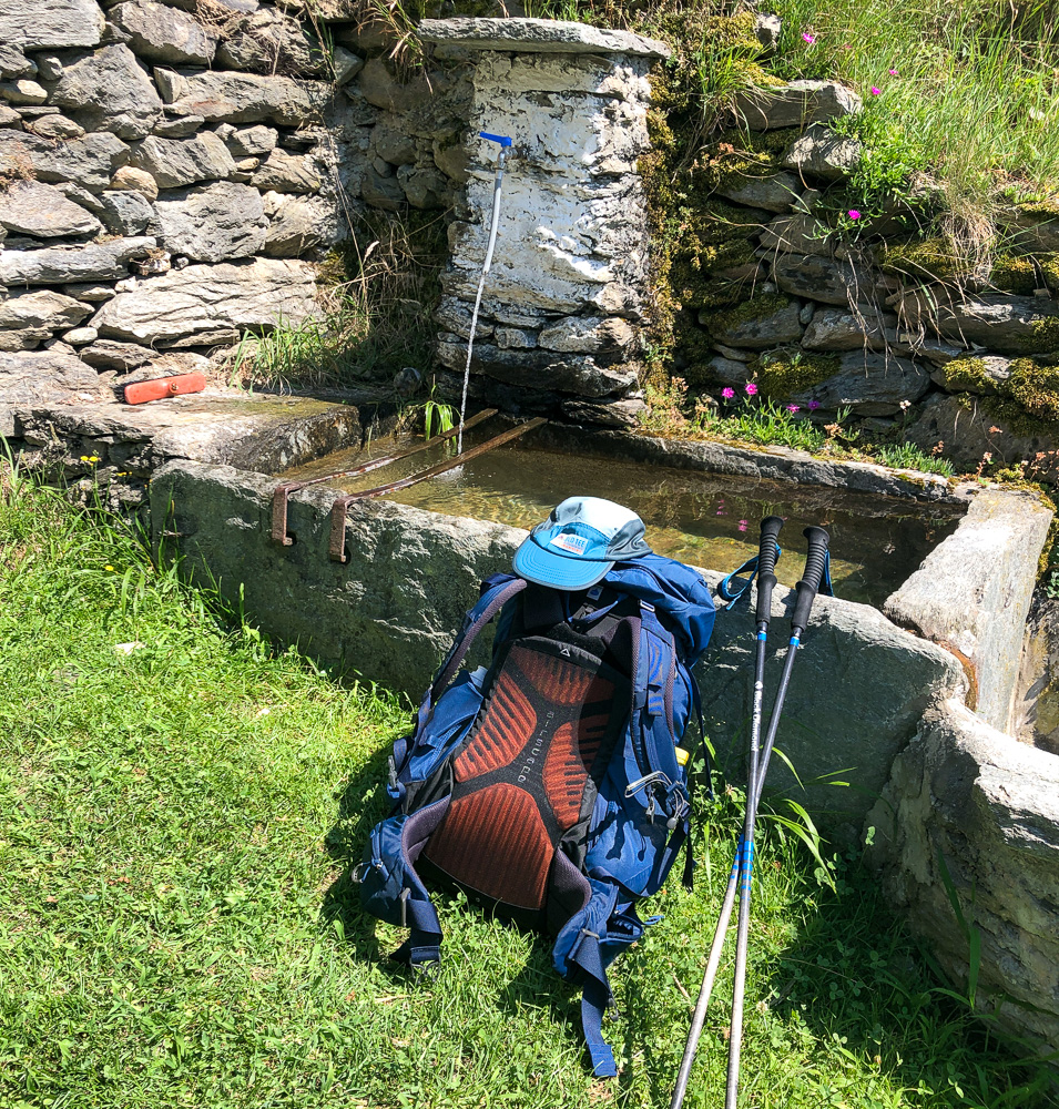
After quite a bit of swearing I managed to get out and near some abandoned pasture huts I found a fountain at which I stopped to refresh myself. Once again I fell behind schedule. There was still a long way to go and it was all uphill to Pratobello. I allowed myself a little deviation to the village below to get an ice cream - I was gagging for a packaged ice cream! I found the much-needed ice cream when I realised that the café was at the end of the path at the bottom of the valley which I had tried to avoid by climbing up, and ended up there anyway. I stocked up on junk food and set off again without wasting any more time. The path climbs practically vertically and I advanced slowly.
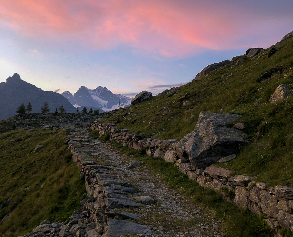
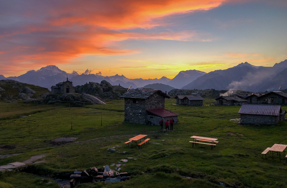
At high altitude, the view of the Valmalenco is breathtaking and the evening was wonderful. I wasn't sure if I would be get a chance to shower at the hut, so just before arriving I washed at a fountain, using our solid soap made from 100% natural plant-based ingredients. When I arrived I dashed to the table and, only after filling my now empty stomach, went outside to take two pictures of the mountains at sunset.
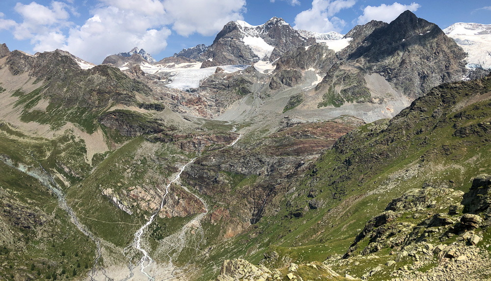
On the fifth day, to avoid taking exactly the same route as I’d taken on the outward journey, I chose to cross the border between Italy and Switzerland at the Passo del Confinale (2626 m); the view of the Bernina was magnificent, even though the glacier is, by now, in very poor condition.
This route turned out to be more pleasant and perhaps even shorter than the one I had taken a few days earlier. I descended back to Poschiavo and then climbed up to the Bernina Pass where I caught a nice thunderstorm that cooled me down. After putting my poles away to avoid attracting lightning, I covered myself with my windproof trousers, long-sleeved jersey and waterproof jacket. During a thunderstorm at high altitude, the temperature can drop as much as ten degrees in a matter of minutes.
Another twenty or so kilometres separated me from my destination, but since it was all slightly downhill I ran almost all of the remaining distance, despite the rucksack bruising and grazing my back. I didn't want to be late because I would have to cycle back to Milan the following day.
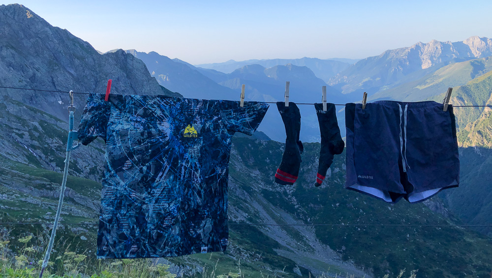
During the whole trip I was able to test the new ZION Bermuda shorts, which were light and extremely comfortable.
EQUIPMENT
Based on our experience, in our opinion, the best equipment in terms of performance/weight is as follows:
-1 pair of lightweight, cushioned, low shoes with a good grip; probably the most suitable model is the Mafate Speed by Hoka(295 g)
-1 25/35 litre rucksack with front water bottles, such as:
Ultraspire Epic XT 3.0 (927 g)
Ultimate Direction Fastpack 30 (690 g)
Salomon XA35 (540 g)
Black Diamond Distance 22 (412 g)
-3 X 500 ml soft flasks (3x38 g)
-1 padded jacket with hood, Patagonia Micro Puff Hoody (298 g)
-1 Lava Wild Tee windproof jacket (93 g)
-2 Wild Tee t-shirts (2x10⁵ g)
-1 Wild Tee long-sleeved shirt (125 g)
-1 Wild Tee multifunctional tube (30 g)
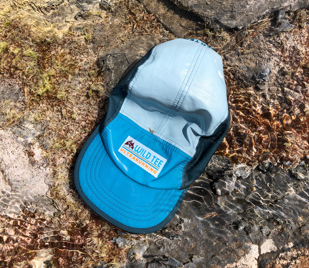
-1 Endurance Wild Tee hat (25 g)
-1 pair of Wild Tee Bermuda shorts (220 g)
-1 Wild Tee Redwood second layer (160 g)
-1 pair of Wild Tee long joggers (240 g) - available soon
-1 Goretex Arcterix Norvan LT Hoodie (190 g)
-1 pair of Salomon Bonatti Waterproof windproof trousers (123 g)
-1 pair of Wild Tee gloves(40 g)
-2 pairs of Rockies Wild Tee socks (2x35 g)
-1 pair of insoles for shoes (15 g)
-1 Wild Tee organic cotton T-shirt(120g)
-1 pair of pants (35 g)
-1 sheet and 1 pillowcase or 1 sleeping bag: you can rent these at almost every hut for 3/5 € (check first). Decathlon Silk sleeping bag MT500 (110 g)
-1 light towel (50 g)
-1 toothbrush, small toothpaste tube, earplugs and solid shampoo Wild tee (100 g)
-1 5-litre Exceed waterproof Fold Drybag UL (20 g)
-1 USB charger with phone and GPS cables (20 g)
-1 Goalzero Flip 24emergency power bank (130 g)
-1 Smartphone with Koomot and Terra Map App (200 g)
-1 pair of Black Diamond Distance Carbon Z poles (170 g)
-1 Petzl IKO CORE headlamp (79 g)
- ID and money
Total equipment: 4146 g (excluding water and food) (plus 237 g or minus 150 g, depending on the backpack)
If you do not plan to sleep in the hut or indoors you will also need:
-1Nordisk Yeti Fever Ultra sleeping bag, 345 g
-1 Camp Minima tent to sleep 1 or 2 or 3, depending on how many of you there are: 1100 g
-1 Therm-a-Rest NeoAir Uberlite mattress, 250 g
-1 MSR Pocket Rocket 2 stove, 73 g
-1 gas bottle, MSR IsoPro Fuel, 110 g
-1 MSR Titan Cup, 54 g
-1 Light My Fire Spork, 11 g
- bags of freeze-dried food, according to needs
Total camping equipment 1943 g
Total equipment 6089 g
N.B.: equipment may, of course, vary depending on location, time of year, weather conditions, length of trip and availability of funds.
ROUTE
As in any self-respecting adventure, route planning is paramount. Try to get information from people who have already explored the area you want to go to. Prepare your trip with Apps such as Koomot, Terra Map but also use paper maps, which always have their charm and will come in handy in case you run out of batteries. Be very careful at critical points: like in trail running, it is better to turn back to a known trail than to go on and end up blatantly off the planned path. Having run both the PTL and the Euforia Ultra Trail, where competitors have to follow the GPS track provided by the organisation, I have gained some experience on the subject. It is not always easy to trust digital instruments, like when you don't follow your car's navigator and swear when you take a wrong turn. One must always be vigilant, it is better to stop and find landmarks than to stubbornly keep going off track.
Planning is everything. It is important to have a daily plan, with distance and elevation gain so that you have an idea of the travel time between one point and another. For example, knowing to get to a supermarket when it is open is much better than getting there when it is closed. Water and food weigh a lot, so good management of supply points is essential to avoid overloading your shoulders even more. In your calculations, allow for any unforeseen events that are bound to happen to you.
Always think in terms of equivalent kilometres, i.e., add to the kilometres the difference in altitude in metres divided by 100.
For example, 30 km with 1500 metres of positive altitude difference is equivalent to 45 km on the flat (30+1500/100).
To estimate your walking time, consider that a person walks at 5 km per hour, a trained person at 6 km per hour, an untrained person at 4 km per hour
Taking the example again, to walk 30 km with 1500 m D+, i.e. 45 Kmeq, it will take you about 9 hours, to which you will have to add 2 hours for eating and stops, plus 1 hour for unforeseen events.
NUTRITION
For about 10 hours of walking and 45 Kmeq you will need between 2500 and 3500 calories, depending on your weight (45 x weight in kg). Considering that about 1000 calories are taken from your body fat reserves, the caloric intake you need is about 2000 calories per day. Considering an average of 7.5 calories per gram between carbohydrates (4 cal/gram) and fat (9 cal/gram) you need about 300 grams of food per day. For a 5-day trip that's a good 1.5 kilograms!
As you will have realised from this quick calculation, food represents an important part of the weight we will carry on our shoulders.
It is nice to stop in a beautiful spot and munch on your provisions, but it is also nice to sample the local cuisine. A hot meal and a beer can have a miraculous effect in certain situations.
Depending on the course and the availability of supplies along the route, calculate how much to carry and how much to buy.
As mentioned, the best foods to take with you are those that are high in calories and can be stored without refrigeration.
These include:
-nuts
-dried fruit
-dried meat
-parmesan or grana cheese, vacuum-packed
-energy bars
-vacuum-packed bresaola
-freeze-dried or dehydrated foods if you have a stove to rehydrate them with hot water
-gels
Always keep a small supply for emergencies.
WEATHER
Weather conditions affect both the equipment we carry in our rucksacks and our route. The weather forecast should be checked both before and during our trip.
It is important to check the evolution of the weather, both through the local meteorological service (to have the most precise information possible on the temperature, humidity and wind in the area where we are) and through the national service, to anticipate the evolution of the weather conditions.
If you cross areas with extreme or variable conditions, check the situation often (about every three to four hours). Do not hesitate to change your route, even lengthening it to avoid intense weather events. For example, it is safer to catch a thunderstorm at the base of a mountain than to catch it at the top, where the risk of lightning is much higher. In the case of particularly intense events, it is better to leave the poles behind, which in any case should be held with the tips downwards.
Rain in the mountains lowers the temperature by up to ten degrees, so take this into account when choosing your equipment.
Also bear in mind that with kilometres and fatigue you tend to feel colder.
Prepare a plan B in case of extremely prolonged bad weather. You are not running a race, be flexible about the route and always keep a time margin to manage the situation.
After the first few days you will be able to predict your travel times more accurately and will be able to anticipate more complex situations.
SLEEP
In the huts, a towel and sleeping bag can be hired for 3/5€, but often there is no network connection and cash is needed. The cost of an overnight stay is around 50.00€, with half board 60.00€.
A tent is convenient when two are hiking, so that you can share the weight of the equipment; check the possibility of free camping and do not leave anything behind. Sleeping in a tent is always a fantastic experience and will allow you to enjoy the surrounding nature to the fullest. Take your time when choosing the place where you will stay and set up camp during daytime to avoid unpleasant surprises.
Sleeping without a tent in the open is only recommended in good weather and for short stops.
This is how you can cross the world on foot with only your own strength and minimal impact on the environment, as people have done for millennia before the advent of motorised transport.